There is a straightforward rule for Remote Outback Hiking Safety in Australia: when the bitumen ends so does any notion of self-sufficiency being optional. You need to put in more water than seems called for, have a plan for the weather, make sure your emergency comms are up to scratch and let someone know where you are going in detail.
Tahlia Morgan here. In my experience the bush will not be kind to heroic improvisation, it prefers you to be calm and prepared. From the car window the Outback can seem like easy country, flat and quiet. But on foot you are dealing with rough tracks, long stretches without help, spotty reception and the oddity of extreme temperatures with little shade. “She’ll be right” is no way to navigate.
Why you must prepare for a remote hike
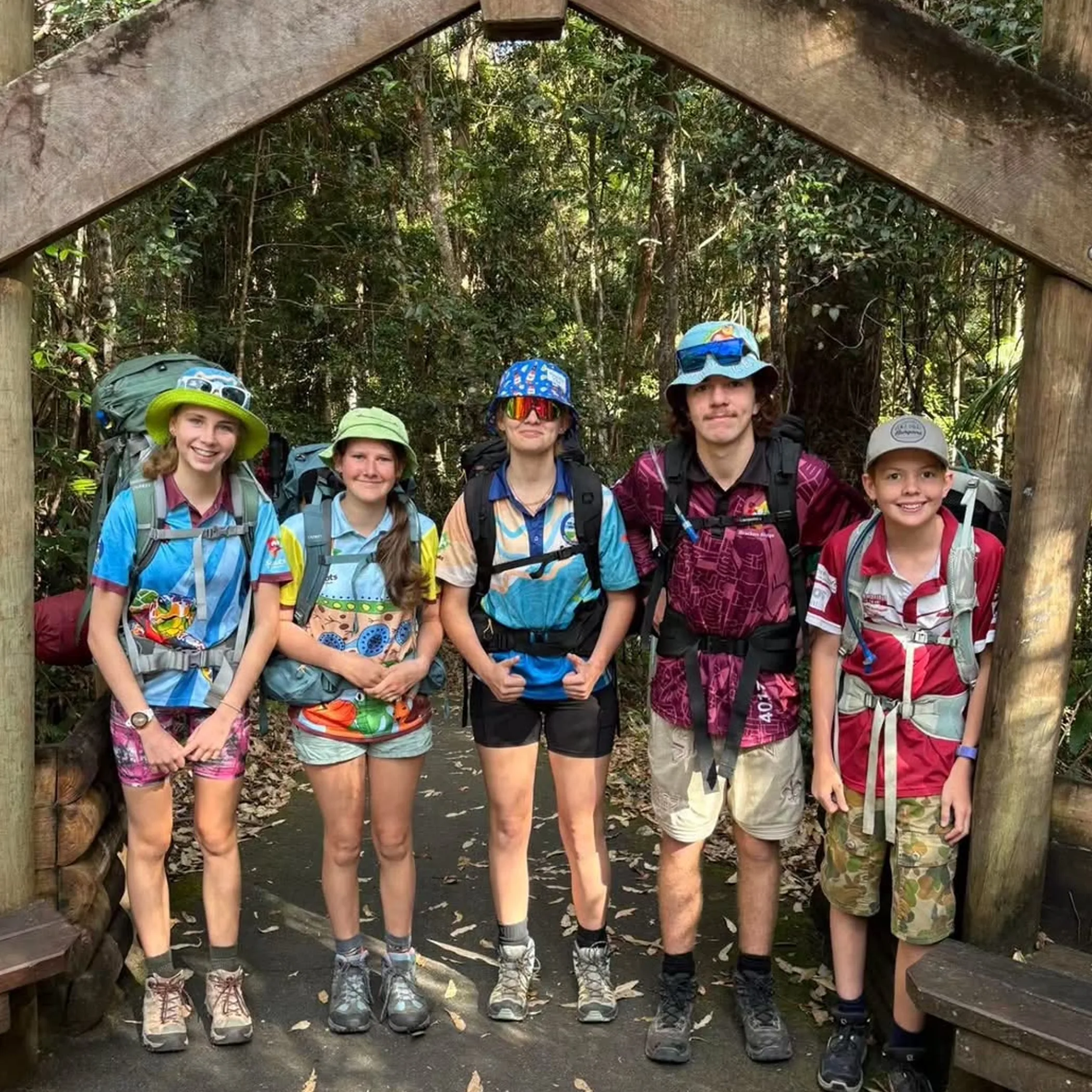
It is not the same as a suburban trail that has been well marked. In the Australian outback you can put in hours of walking and not come across a soul or a decent water source. By the time the sun goes down a minor issue has a way of turning into something serious.
Safety on a multi-day hike is about nipping ordinary risks in the bud. A missed turn, a phone that has given up or a blister might appear trivial but they all have a bearing on how fast you go, your water consumption and whether you can get to help.
An appreciation of the remoteness
At 7.7 million square kilometres there are plenty of places in Australia where services are few and far between. And a map can be misleading; spinifex, loose scree, rocky gullies and creek beds will slow you down in the heat.
The mistake is to plan on the basis of kilometres. Under a strong sun with a full pack on, even a fit walker will take longer to cover ground than in cool conditions. Be guided by the terrain and the need for a break and some water, not an optimistic straight-line pace.
Pick the right trip
A remote multi-day outing is for those in a position to carry their overnight safety gear, food and water over several days and who are at ease making conservative calls if things turn. If you are new to it, stick to a supported walk, a base-camp affair with known water or a shorter route with good markings. Leaving your first solo crossing to the height of summer is not much of an adventure, more of an unpaid field experiment.
Contacts, weather and your route
When a track is shut or a member of the party is unwell a sound route plan offers options. It also means rescuers have something concrete to work with rather than “somewhere in the vicinity of the red rocks”.
Make sure you have checked for permits, road access, fire restrictions and Aboriginal land access requirements before you head out. The Top End, the Pilbara and the Red Centre can see conditions and closures alter in a hurry.
Put together a workable plan
Have a paper copy of a topographic map as well as an offline version and mark on it the high ground, escape routes, water and where a vehicle can get to you. GPS is fine until the battery or satellite lets you down or the device gets damaged.
Your intentions and the plan should be with a contact you can trust to sound the alarm if required. Put in your registration and vehicle details, medical information, who is in the group, the camps and alternate ways you may go, and when you are due to check in. Do not leave it to a friend to “watch things” and hope for the best; set a deadline and an emergency protocol. AdventureSmart would concur on the value of sharing your details and getting ready for the outdoors properly.
The season
November to April sees the wet in northern Australia with its cyclone alerts, flash flooding and roads that have been washed away. Then there is the dry and the scarcity of water. Even in the shoulder seasons in inland WA or the Red Centre you can have cold nights after hot days.
Walking tracks and access roads can be closed for summer bushfires, so what was open last month is not today. The Bureau of Meteorology has the warnings and forecasts you need to consult prior to setting off and in between regions.
| Planning Check | What To Confirm | Why It Matters |
|---|---|---|
| Weather window | Wind, rain, fire and heat | Dictates your speed and access |
| Water points | Location and quality, with a backup | Dry tanks are a frequent surprise |
| Road access | Track condition and what vehicle can reach the trackhead | A rescue plan is worthless if the vehicle cannot get there |
| Emergency contact | Escalation steps and when to act | Others can respond if you do not show |
| Permits and closures | NT Parks Pass requirements and other rules | Avoids last-minute changes or breaking the rules |
Carry water, food and gear
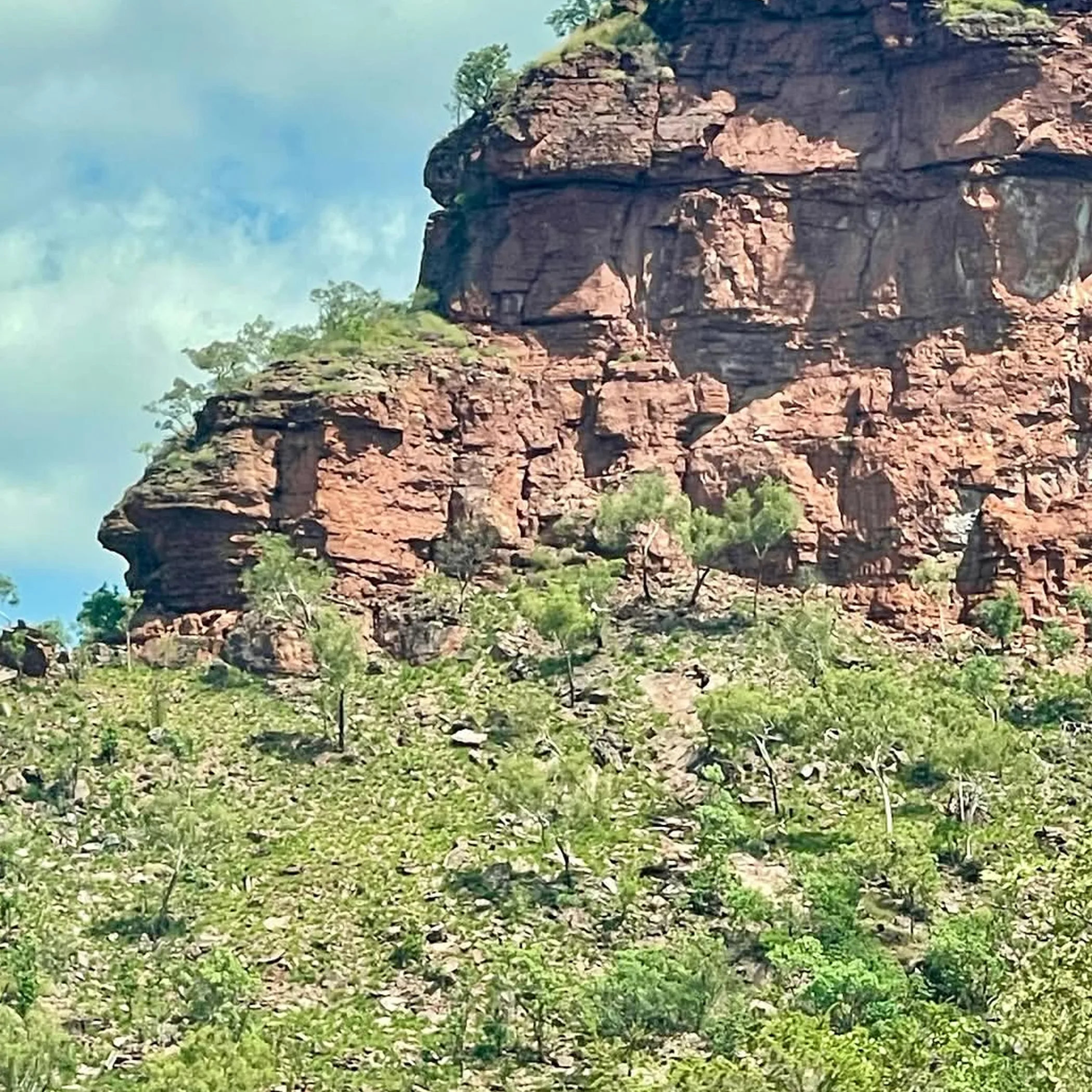
Then there is the matter of carrying adequate water, food and gear. A guidebook may put down a creek as “permanent” but do not put stock in that without consulting current reports. You will find waterholes that are dry, hard to get to, full of wildlife or otherwise contaminated.
Plan your food for the trip as well as any delays and have a sensible reserve. Make it something that will stand up to the heat and does not require refrigeration, and that can be put away if cooking is no longer an option.
Put in place a water buffer
After figuring out what is needed for drinking, cooking and hygiene, put aside some for contingencies. There is no single figure that applies in all cases; temperature, how far you are going, exertion, body size and the availability of a source you can vouch for will dictate the amount. Heed the advice of those with local experience and park authorities.
Have more than one container for your water so a puncture in the bladder does not make for a long, dry walk. And while a creek or rock pool may appear clear, do not drink from it on that basis alone. You cannot see giardia, bacteria or animal taint and they will put you under just the same. Where called for, filter, boil or chemically treat water from tanks and the like.
Pack for the possibility of failure
An overnight hike calls for safety gear: head torch with spares, power bank, first aid, shelter, warm and rain wear, sun protection, a lighter, repair tape, navigation and a whistle. Put medications in something waterproof and allow for extra in case of hold ups.
- Navigation: paper topographic map and compass, a GPS with charge.
- Communication: a Personal Locator Beacon (PLB) or satellite messenger.
- Health: blister treatment, electrolytes, prescribed drugs and medical details.
- Camp: sleeping system, stove safety equipment, rubbish bags and food.
- Vehicle: spare tyres, recovery kit, fuel and provisions for an unanticipated wait.
Make sure to test devices before you go. A PLB is no substitute for good planning, though in a life-threatening situation beyond mobile range it can be the difference. Be sure you can get at it to activate it, not have to dig through three days of trail mix.
Heat, sun and fatigue
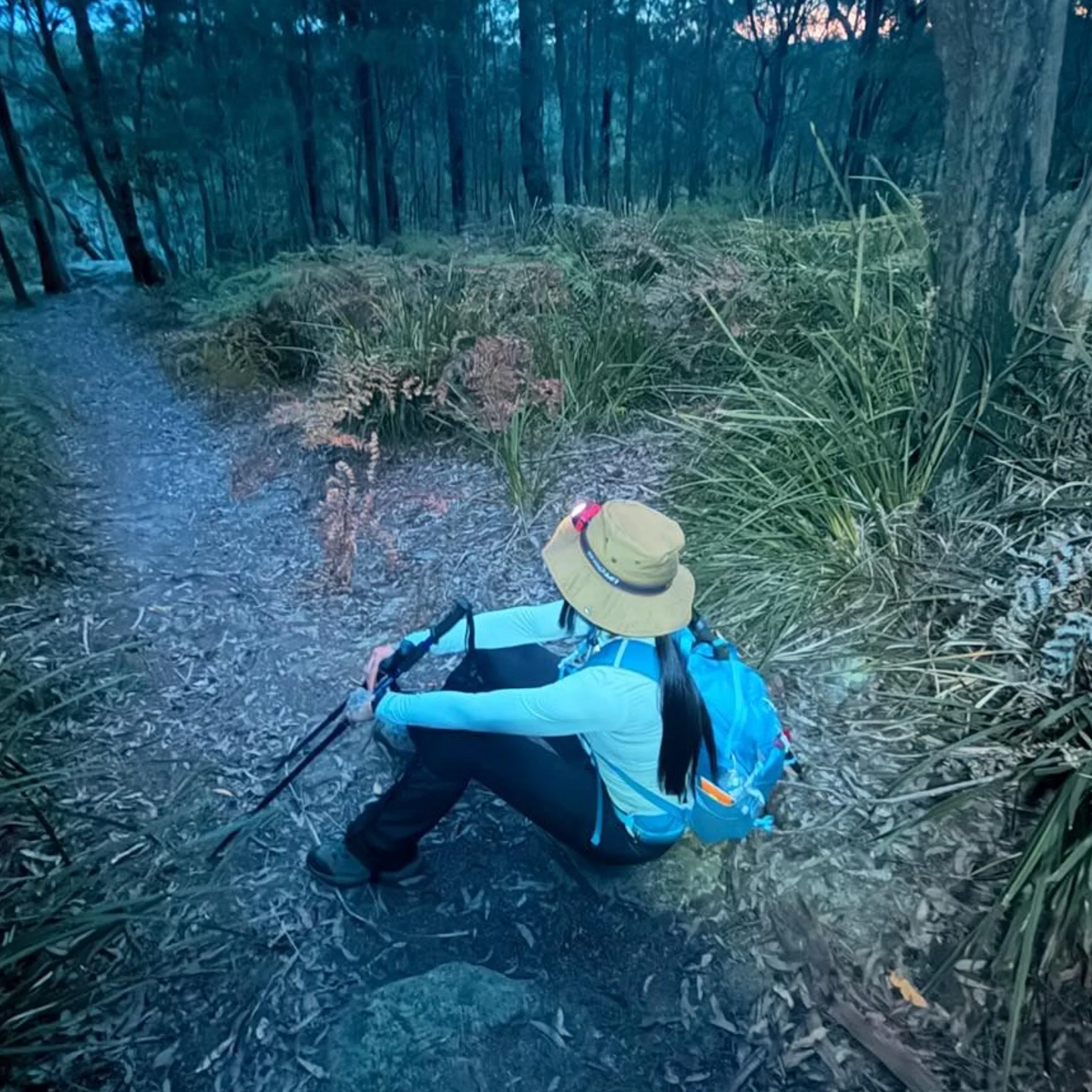
In Australia the way you time your day is the first rule of desert hiking. An early start and a rest when it is at its hottest are wise; do not consider a lunch in the shade a defeat.
Dehydration and exhaustion come on slowly. One will press on because camp is near and end up unsteady or confused. With water low and judgement gone the last few kilometres are where the danger lies.
Adapt to conditions
A hat with a good brim, sunglasses, sunscreen and long sleeves of a light material are de rigeur. It is more dependable than trying to reapply sunscreen when you are dusty and flies are getting to you.
Do not put off drinking until you have to. Watch for the colour of your urine, cramps, dizziness or a headache. Should any of these show themselves, stop and put the person in the shade to cool down. If things do not turn around use your emergency communications. Do not let an unwell person be left to his own devices while another goes for assistance unless you have no other recourse. Mark where you are and stay together.
Cold nights are to be expected
The outback is not warm after dark, especially with a change in the wind or clouds. Have insulation and a shelter to match the forecast.
When tired, poor decisions and navigation errors follow. Set a time to turn back. If you are behind schedule it is better to curtail the objective than to be trudging into the dark with a dead head torch.
Terrain and wildlife
Bushwalking in Australia is about the landscape as much as the track. A phone screen will not tell you of the hazards in loose rock, spinifex or a road softened by the heat.
Wildlife has little desire to come after you but maintain a respectful distance. Leave your food in at camp, do not go near large animals or handle snakes. Check your bags and boots, small creatures are only too happy to take up residence. Before you set off, always check for park alerts and restrictions to ensure a safe and compliant trip.
Keep navigation redundant
Put the compass to work with your map, do not just tote them around for show. You should be in the habit of checking where you are from time to time, and make sure of it when you are about to depart a well defined track or put yourself in a gorge or out on an open plain.
Should any doubt arise, halt. There is no point in putting in more miles expecting the track to materialise. Put in a call on your emergency device and take cover from the elements before matters worsen; if it can be done safely, go back to where you were last certain of being.
Water and flood risk
Rain some kilometres off can send a flash flood down a creek bed that is otherwise dry. So do not pitch camp in a drainage line or on the inside of a bend, nor under low cliffs. Be wary of crossing water in motion if you cannot be sure of the footing or the speed.
In crocodile country one must be croc-wise about tidal waterways, billabongs and rivers, heeding what the locals say. Do not be taken in by a small waterhole that looks to be in isolation and think it safe. Up in the Top End a familiar track can be unrecognisable after a night of wet season weather.
Emergency communication
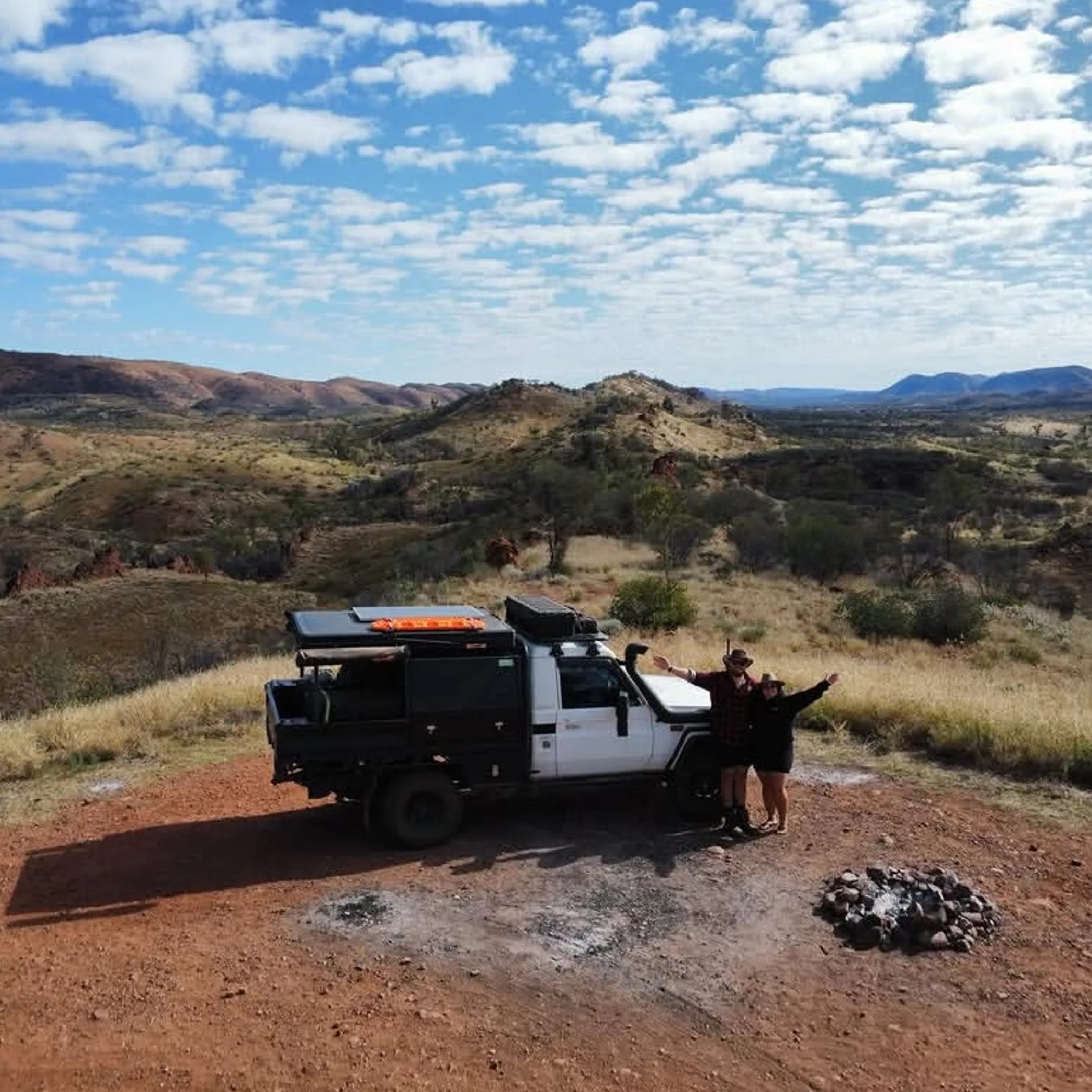
Do not count on mobile reception in remote Australia; it is spotty at best and has a way of vanishing at the worst moment. A phone is a handy tool but not an emergency plan in itself. The right preparation for the back country is to have navigation, decision-making and communication all working in concert. Let someone know your plans, have a PLB or the like and be aware of what each system can and cannot do.
Selecting a device
A PLB is for when there is a real emergency and relies on the response system, not for the odd message. With a satellite messenger you might get tracking and two-way comms but you have to set it up properly, charge it and have the sky to yourself.
Have it on you or in a pocket you can get to without trouble. Make a practice of sending a message and have the numbers to hand prior to setting off. In the event of activating a PLB, remain visible and put in with the authorities’ instructions, provided the area is safe.
Decide early
There is no virtue in pride, it does not improve with age. Act early over a bad ankle, a vehicle that has given up or running low on water; do not let a minor thing turn into a rescue operation.
When the group goes its separate ways, agree on a time and place to meet. It is not advisable to let the best walker off on his own without a sound plan and means of communicating. As a rule, the group that is most conservative in their choices is the safest.
Camping and emergencies
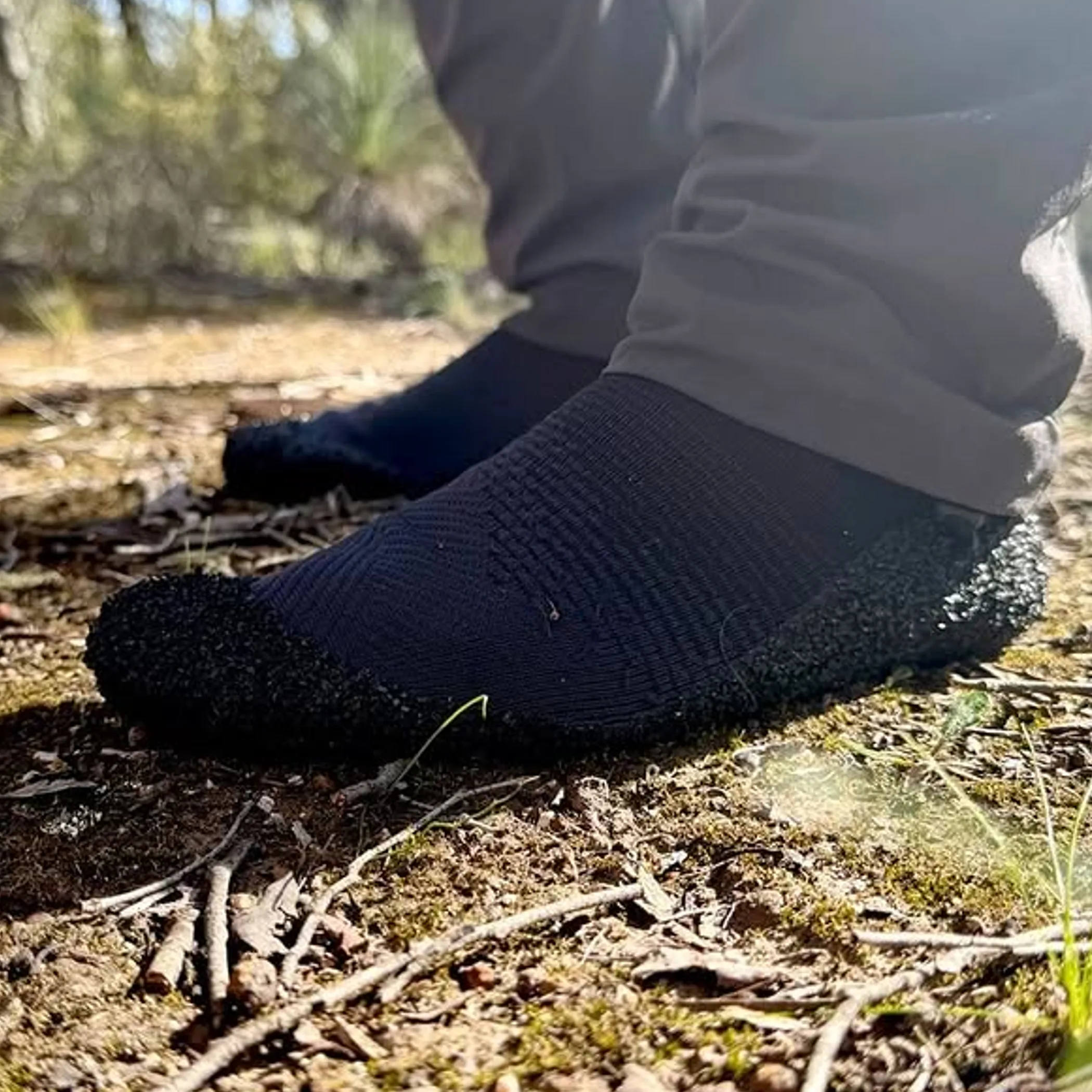
A well run camp will see the group through 2 am without the kind of inconvenience a small error can bring, as well as keeping you clear of fire, wildlife and the weather. Pick an elevated, stable spot, none of the exposed ridges or the edge of a cliff. Where possible a stove is the simpler and safer option to a campfire, and is in keeping with park regulations. See that fuel is put away and equipment is put out completely before you make camp or move on.
Dealing with what comes
Clean and put a cover on a blister at the first sign of it so it does not alter your gait. With a sprain you want to support the joint and put some weight off it, then decide if the person is fit to go on. Heat illness calls for an end to exertion, to cool the patient and get help.
With a snakebite, do not be making a wash of it or trying to cut the wound, still less chase the animal for a photo; it is of no use to first aid. Keep the victim quiet, put on a pressure immobilisation bandage if you have been trained and put in an emergency call.
A lost member of the party is best dealt with by stopping, sheltering and holding your water while you put out your location. To wander is to deplete your resources and give the searchers more ground to cover.
The Larapinta
One does not simply string together a few picnic stops on the West MacDonnell Ranges. The Larapinta is a multi-day walk of some seriousness. Between the long transfers, the heat and the rock, the lack of water and exposed ridges mean planning is essential. I am often put in mind of the fact that water is a variable when I am fielding questions on the best Larapinta gorges and swims. After a rain the pool can be muddy, cold or unsafe; to get to it one might have to make a rough approach instead of an easy stroll from the road.
Plan access and transport
A support vehicle, a one-way transfer or an itinerary staged from trailhead to trailhead are what most walkers will put in place. One should not underestimate the access roads: away from the main sealed routes you may need a fit vehicle with spare tyres and recovery gear as well as extra fuel.
It is well to confirm everything before you set off, from parking and campsite bookings to water reports and your return arrangements. An organised transfer has the advantage of not having a car left to itself for long, though a private one is more flexible. As for cost, there is no uniformity between operators or seasons, so budget for transport, food, emergency supplies and permits as distinct items, as well as accommodation at either end of the walk.
Choose a sensible itinerary
One day is all you have? Then pick an accessible part of the trail close to an access point and be back before dark. There is less risk in a shorter walk that allows time for shade and route-finding than in going at a multi-day section unencumbered by the right equipment.
The Larapinta Trail is no place for those not ready to contend with uneven rock, weather or the burden of supplies. Beginners would do better to go with a guide and gain some experience before they try their hand at a self-supported venture in the bush.
Answering common hiking questions
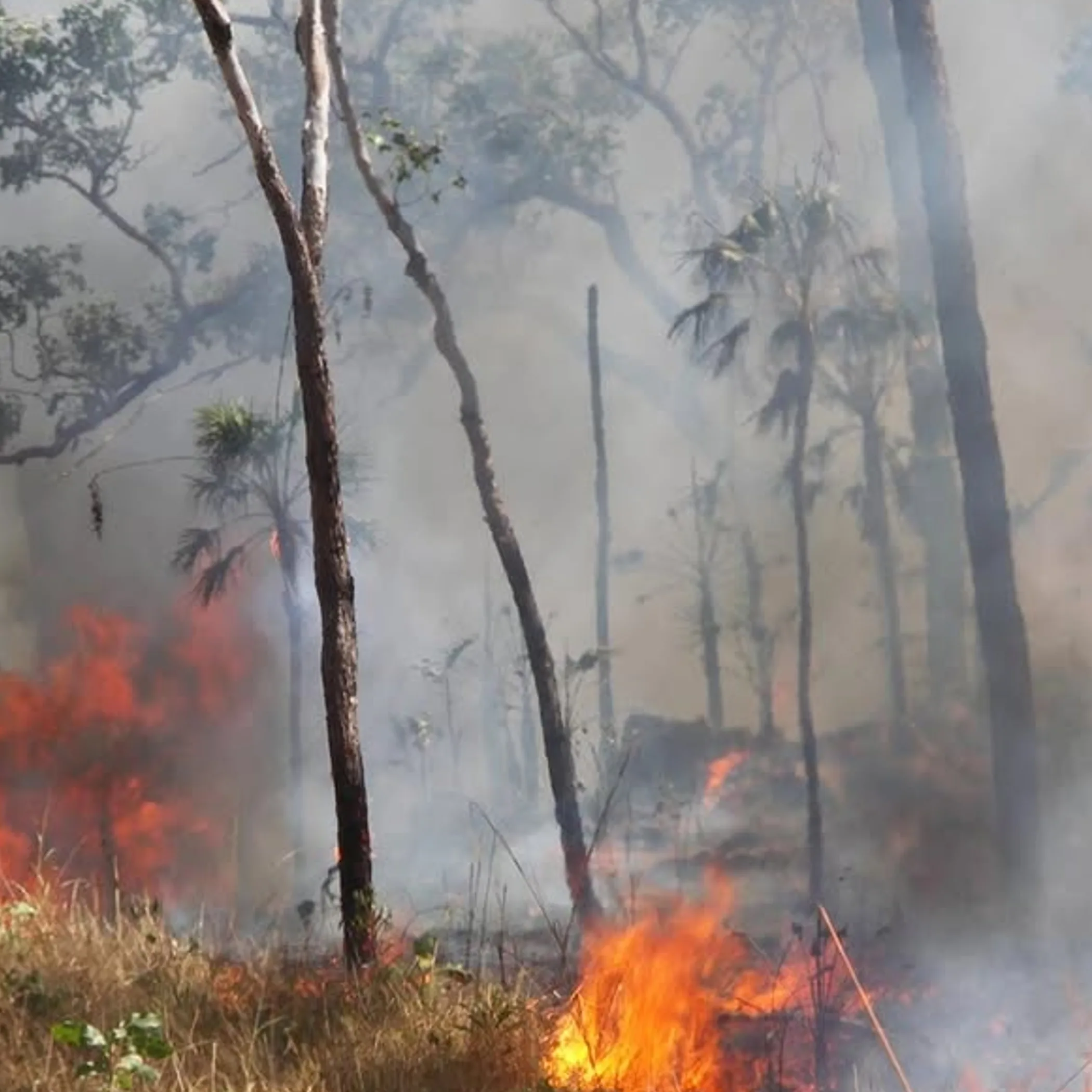
For those making preparations for their first remote Australian walk I offer these practical answers to the concerns I come across. In short, while preparation will mitigate risk, sensible decisions on the track cannot be check-listed away.
What are some safety tips for trekking?
Know where the group is able to go and do not let conditions force you into an unsafe position. Have a topographic map and compass, enough provisions, means of reliable emergency communication and protection from the elements. Put your plans and intentions on record and see to any closures or bad weather.
What are some good long distance hikes in Australia?
You will find them in deserts, on the coast, in alpine or forest country, the Larapinta Trail among them. But a famous name does not make for a good first outing; it is a matter of what you can tolerate in the way of pack-carrying, your experience, the season and how you plan to get around.
What are common campground safety concerns?
There are unstable trees, the possibility of flash floods, fire rules, ground that is slippery, poor lighting and hygiene, and animals lured by food. Do not be tempted to make camp in a dry creek bed on account of its being flat. Inspect the site on arrival and put the food away.
Is it safe for Americans to visit Australia?
They can travel here without worry. Yet the same level of preparation is called for in the outback as for any visitor. Those accustomed to trails that are well-serviced may be taken aback by the heat, the driving, wildlife and lack of reception. Make allowances in your time, acquaint yourself with park rules and local emergency protocol.
Do I need a PLB for every hike?
A short walk in company does not warrant one. On a remote multi-day affair beyond mobile range, however, a PLB or satellite device is a sensible precaution. The choice of equipment should reflect the remoteness and the group’s experience, and what happens if a rescue is delayed.
Make safety part of the adventure
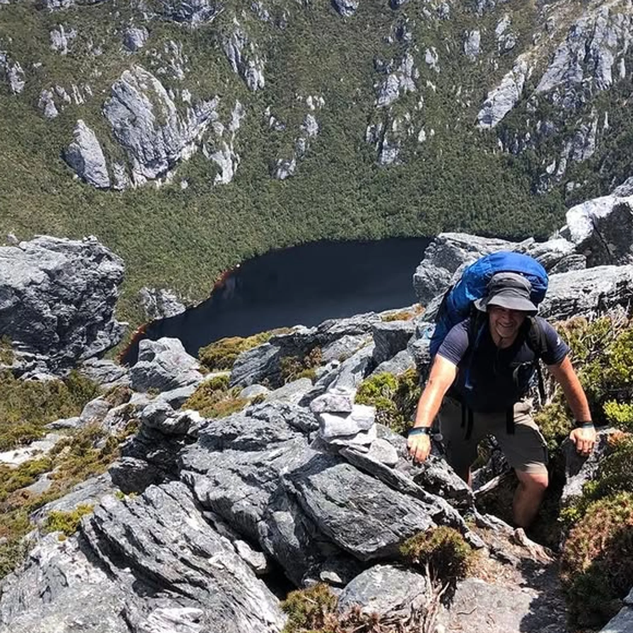
The hike that makes for the most telling tale is not necessarily the safest. You want to be the sort to come back with your feet and your wits about you, plenty of water and no dramatic helicopter rescue in the offing.
Be prepared to alter the itinerary, have regard for the Traditional Owner and park requirements and look up the latest information. Factor in fatigue, navigation and the weather. That is how you go about safety in the outback: with a measure of humility and more preparation than the landscape might call for.
Further reading: top Larapinta gorges and swims.
